MIT Research Points Toward 'Mapless' Autonomous Vehicles

It’s a simple, basic gap that points to the limits in today’s autonomous vehicle technologies, but also shows just how quickly some of those barriers are being breached.
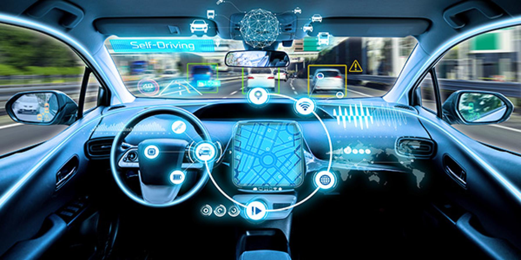
Until now, the tech-enabled cars that have received so much attention from the transportation community and the general public have required gigabytes of 3D mapping data, just to safely navigate the relatively small proportion of roadways that have been catalogued by the tech companies running the tests.
The sheer scope of the challenge—the number of roads and lane miles involved, and the high bar for safety and reliability that the vehicles will have to clear—make it look daunting. According to Forbes Magazine, a grad student at MIT's Computer Science and Artificial Intelligence Laboratory (CSAIL) is hot on the trail of a solution.
Navigating Without a Map
To anyone who’s ever been in the passenger seat with a driver who absolutely, positively knew where they were going (until they didn’t). Surprisingly, the answer is almost deceptively simple: If mapping is such a problem, show autonomous vehicles how to navigate without maps. What?
“The reason this kind of ‘mapless’ approach hasn’t really been done before is that it’s generally much harder to reach the same accuracy and reliability as with detailed maps,” said CSAIL’s Teddy Ort. “A system like this that can navigate just with onboard sensors shows the potential of self-driving cars being able to actually handle roads beyond the small number that tech companies have mapped.”
Thanks to Ort and his team, that system now exists, and was recently presented at an international robotics and automation conference in Australia. “The framework is called MapLite,” Forbes reports, “and it combines GPS using only the most basic topographic maps from OpenStreetMap, with LIDAR and IMU sensors that monitor road conditions.”
In a recent test, the system successfully navigated a network of unpaved rural roads in Massachusetts by tracking topography and road contours 100 feet ahead.
Still a Few Bugs in the System
Ort ultimately envisions a system that can learn from its “experience” and generalize that knowledge to other situations. The technology “differs from other ‘mapless’ approaches that use machine learning to train the system using data from one set of roads that are later tested and applied to other roads,” Forbes explains. “Instead, MapLite attempts to develop models for situations self-driving cars might encounter that then inform its actions, not too unlike the way a human driver might approach a familiar scenario.”
The system may not be ready for prime time for a little while yet, Ort acknowledges. It can’t handle major changes in elevation, and he says future autonomous vehicles “will always make some use of 3D maps in urban areas.”
To be useful in a wide range of conditions to credibly replace humans at the wheel, the vehicles will have to go places where 3D mapping realistically can’t or won’t. And that’s where CSAIL’s technology could make a difference
“When called upon to take a trip off the beaten path, these vehicles will need to be as good as humans at driving on unfamiliar roads they have never seen before,” Ort said. “We hope our work is a step in that direction."